
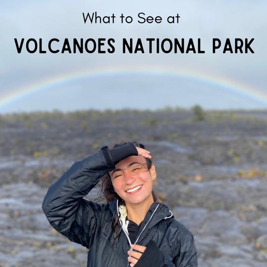
If you’re planning a trip to Big Island, you must visit Volcanoes National Park. Place it on your list, up there at the very tip-top. If you need a list of what to see at Volcanoes National Park, you’re in the right place, because we did it ALL (well, tried to).
About Kilauea
There are 5 volcanoes that created Big Island. Kilauea is the most active, and it’s the main feature of Volcanoes National Park.
Volcanoes are really cool but really dangerous. It is a bit scary to dawdle around ignoring the fact that the volcano can erupt at literally any time. But, in reality, Kilauea is relatively safe. The eruptions are predictable and extremely slow. Rather than blasting up into the sky, most of Kilauea’s eruptions just “boil over” the sides of the crater. If the park detects danger, they would close it long before it becomes life-threatening. The most recent eruption was so isolated that the park still allowed visitors.
Kilauea is the main feature of Volcanoes National Park, but it’s crater is definitely not the only thing to see. There is so much more to the park! We were able to explore a ton of it in 2 days (kind of – every national park has wilderness trails that span miles, and we need way more time).
Here are all the sights we loved in Volcanoes National Park:
1. Kilauea Caldera
It’s the main thing to see, but not the only thing to see. Kilauea Caldera has the most volcanic activity in the park (and the island). There’s a parking lot that overlooks the caldera, and if you walk further toward the lookouts, you can see the steam rising from the hot surface down below.
The caldera is massive and most of it is visible from the walkways, but the lava hides just out of sight in a deeper portion of the caldera called Halemaumau Crater. The best way to (indirectly) see it is at night, when you can stroll the same walkways and see the glow of lava through the steam. It’s best to get there just around sunset, because the parking lot is small and the lines to park become long.

2. Steam Vents and Sulfur Banks
These are easy areas to see and require minimal hiking. Just before you reach Kilauea Crater, you’ll find parking for the steam vents. The steam vents are hot ditches in the ground. When it rains, the water trapped in the ditches becomes steam and creates pockets of very humid, warm air. When the vents are really active, the are feels like a sauna.
The steam vents are located all around the area, including across the road toward the Sulfur Banks. A small walking trail leads into a field across the steam vent parking lot. It eventually turns into a boardwalk surrounded by smelly but colorful sulfur banks. The banks are created by seeping gases from the volcanic activity below the ground and are known to corrode the land, so stay on the boardwalk to preserve the fragile landscape.
3. Kilauea Iki
As you’re driving on Crater Rim Drive toward Chain of Craters Road, one of the first stops is Kilauea Iki. This is one of the most popular trails in Volcanoes NPS because you get to walk across a giant, crusted lava lake. The trail is moderately difficult and 4 miles round trip (took us about 2.5-3 hours to finish because we really took our time).
The best way to hike the loop is by going to the trailhead on the left side of the parking, descending the crater rim that way, and ascending the other end of the crater. It’s less strenuous and the views are more impressive.
4. Thurston Lava Tubes
The next stop is Thurston Lava Tubes, which are also one of the most popular stops in the park. Unfortunately, due to remaining pandemic restrictions in March 2021, the tubes were closed as they are considered “enclosed spaces” and too risky for infection spread. We didn’t get to do them, but when we return to Big Island, it’s worth buying our way back into the park to see them. We did get to see the lava tube located in Hilo, which is listed in this blog.
But, basically, these tubes were created by volcanic activity 500 years ago, when lava flowed through the ground and left behind some very lengthy caves. Totally worth seeing!
5. Mau Loa o Mauna Ulu
In 1969, Mauna Ulu lava shield began erupting. It didn’t stop for 5 years, creating miles of lava flow easily accessible via the Chain of Craters Road toward the coast.
Mau Loa o Mauna Ulu means “the long continuous growing mountain” which is a completely appropriate title considering how massive the lava field is. At first glance, it’s just barren land… but when you think of all the activity that occurred in this area 50 years ago, it’s actually one of the most impressive locations in the entire park.
6. Pu’u Loa Petroglyphs
Volcanoes NPS is full of native Hawaiian and Polynesian history. The coolest display is toward the end of Chain of Craters Road as you approach the coast. There’s a trailhead just off the road that leads 1 mile into rugged lava fields.
At the end of the trail, there’s a board-walked loop which hovers over ancient petroglyphs carved into the lava rock, each of which has specific meanings listed on the NPS website here.
Many Hawaiians would also travel to this site to place their newborn’s umbilical cord into carved holes, then cover it with a rock. This act would help ensure long life of the child.
7. Holei Sea Arch
Where the lava flow and ocean meet, you’ll find natural arches that extend into the ocean. The Holei sea arch was created by natural erosion and is likely to crumble in the near future, but something so delicate is just so pretty. There’s barely any hiking needed, not even a quarter mile.

Hope you enjoy Volcanoes NPS!
There’s so much more to see than is listed, but this is all the things we thought were unmissable. Want to add to the list? Comment below!

Leave a comment